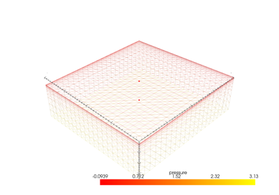
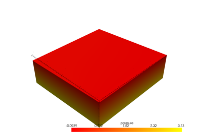
Surface subsurface hydrological model#
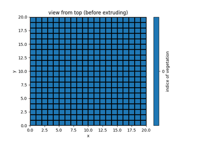
Changing mesh properties (resolution, coordinates, …)
Changing mesh properties (resolution, coordinates, ...)

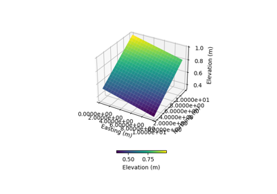


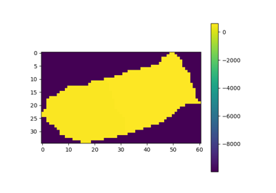
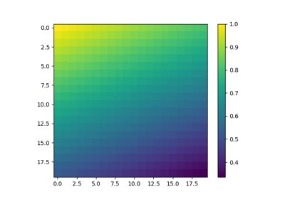
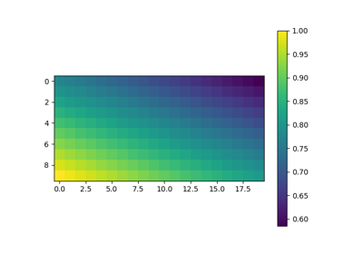
Meshing from a Digital Elevation Model (DEM) .adf file
Meshing from a Digital Elevation Model (DEM) .adf file