Note
Go to the end to download the full example code.
Soil 3d from a Digital Elevation Model (DEM)#
Weill, S., et al. « Coupling Water Flow and Solute Transport into a Physically-Based Surface–Subsurface Hydrological Model ». Advances in Water Resources, vol. 34, no 1, janvier 2011, p. 128‑36. DOI.org (Crossref), https://doi.org/10.1016/j.advwatres.2010.10.001.
This example shows how to use pyCATHY object to build a 3d soil properties from a DEM and run the hydrological model.
Estimated time to run the notebook = 5min
# !! run preprocessor change the DEM shape !
# dtm_13 does not have the same shape anymore!

import os

import matplotlib.pyplot as plt
import numpy as np
import pandas as pd

import pyCATHY.meshtools as mt
from pyCATHY import cathy_tools
from pyCATHY.importers import cathy_inputs as in_CT
from pyCATHY.importers import cathy_outputs as out_CT
from pyCATHY.plotters import cathy_plots as cplt
path2prj = "../SSHydro/"  # add your local path here
simu = cathy_tools.CATHY(dirName=path2prj,
                         prj_name="soil3d_from_weill",
                         clear_src=False
                         )

rootpath = os.path.join(simu.workdir + simu.project_name)
🏁 Initiate CATHY object
the dimension of the mesh is squared (20,20)
dem_mat, str_hd_dem = in_CT.read_dem(
    os.path.join(simu.workdir, simu.project_name, "prepro/dem"),
    os.path.join(simu.workdir, simu.project_name, "prepro/dtm_13.val"),
)

simu.show_input(prop="dem")

maxdepth = 10
# # linear z depth
# # -------------------------------------------------------------
zb = np.linspace(0, maxdepth, 15)
nstr = len(zb)
zr = list((np.ones(len(zb))) / (nstr))

sum(zr)

# zb = np.geomspace(1e-1, maxdepth, num=15)
# nstr=len(zb)
# zr = [abs(zb[0]/maxdepth)]
# zr.extend(list(abs(np.diff(zb)/maxdepth)))

# np.shape(dem_mat)
simu.update_prepo_inputs(
    DEM=dem_mat,
    nstr=nstr,
    zratio=zr,
    base=max(zb),
)
# fig = plt.figure()
# ax = plt.axes(projection="3d")
# simu.show_input(prop="dem", ax=ax)

# simu.update_soil()
simu.update_parm(TRAFLAG=0)
simu.create_mesh_vtk(verbose=False)
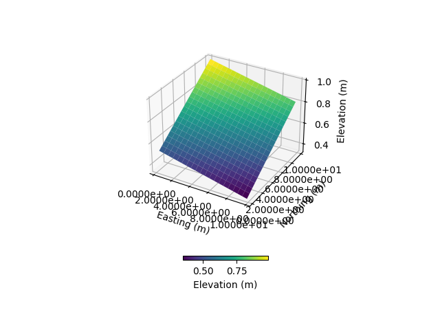
🔄 Update hap.in file
🔄 Update dem_parameters file
🔄 Update dem_parameters file
🔄 Update hap.in file
🔄 Update dem_parameters file
🔄 Update dtm_13 file
🔄 update zone file
🔄 Update dem_parameters file
🔄 Update parm file
🔄 Update dem_parameters file
🔄 Update parm file
🍳 gfortran compilation
👟 Run preprocessor
🔄 Update parm file
🛠  Recompile src files [3s]
🍳 gfortran compilation [8s]
b''
👟 Run processor
simu.update_zone()

layers = {1: [0, 2], 2: [2, 6], 3: [6, 10]}
zone3d_flag = mt.map_layers_2_DEM(layers,
                                  simu.DEM,
                                  simu.zone,
                                  simu.dem_parameters
                                  )
🔄 update zone file
🔄 Update dem_parameters file
🔄 Update parm file
SPP_map = {
    "PERMX": [0.000188] * 3,
    "PERMY": [0.000188] * 3,
    "PERMZ": [0.000188] * 3,
    "ELSTOR": [1e-05] * 3,
    "POROS": [0.55, 0.65, 0.5],
    "VGNCELL": [1.46, 1.46, 1.46],
    "VGRMCCELL": [0.15, 0.15, 0.15],
    "VGPSATCELL": [0.03125] * 3,
}
simu.update_soil(
                    SPP_map=SPP_map,
                    zone3d=zone3d_flag,
                    show=True
                )
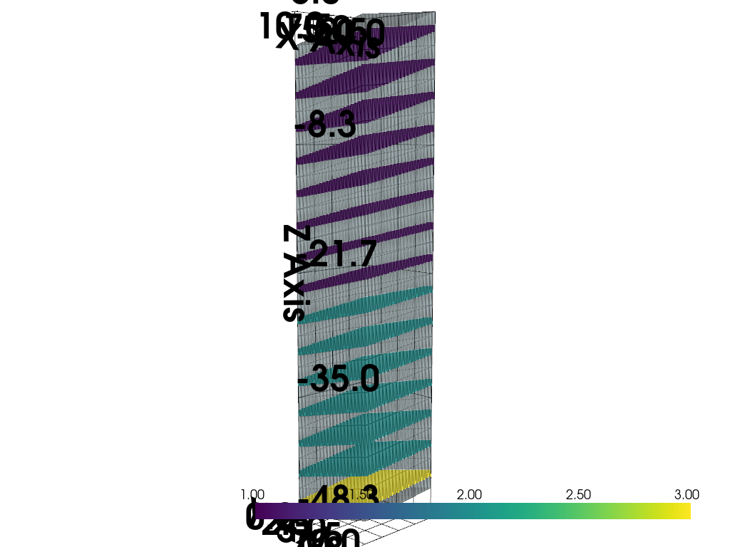
🔄 Update soil
Inconsistent number of zones/layers with respect to the number of soil lines: 6000/15!Revise dem_parm file!
🔄 Update dem_parameters file
simu.update_zone()

layers = {1: [0, 2], 2: [2, 100]}
zone3d_flag = mt.map_layers_2_DEM(layers,
                                  simu.DEM,
                                  simu.zone,
                                  simu.dem_parameters
                                  )
🔄 update zone file
🔄 Update dem_parameters file
🔄 Update parm file
SPP_map = {
    "PERMX": [0.000188] * 3,
    "PERMY": [0.000188] * 3,
    "PERMZ": [0.000188] * 3,
    "ELSTOR": [1e-05] * 3,
    "POROS": [0.55, 0.65, 0.5],
    "VGNCELL": [1.46, 1.46, 1.46],
    "VGRMCCELL": [0.15, 0.15, 0.15],
    "VGPSATCELL": [0.03125] * 3,
}
simu.update_soil(
    SPP_map=SPP_map,
    zone3d=zone3d_flag,
    show=True
)
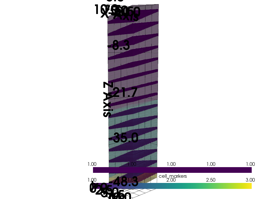
🔄 Update soil
🔄 Update dem_parameters file
simu.run_processor(IPRT1=2,
                   TRAFLAG=0,
                   verbose=False,
                    VTKF=2,
                   )
🔄 Update parm file
🛠  Recompile src files [10s]
🍳 gfortran compilation [15s]
b''
👟 Run processor
Total running time of the script: (4 minutes 35.208 seconds)